Washington Fly Fishing Maps, River Maps, and Stream Maps
Washington offers good-to-excellent marine fishing and shellfishing along more than 500 miles of Pacific coast shoreline, and over 2,000 combined miles of Puget Sound, San Juan Islands, Strait of Juan de Fuca and Hood Canal shoreline. Sportfishing opportunities also abound in our 4,000 rivers and streams (stretching over 50,000 miles), more than 7,000 lakes (over 2,500 at alpine elevations) and 200+ reservoirs.
Washington offers good-to-excellent marine fishing and 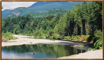 shellfishing along more than 500 miles of Pacific coast shoreline, and over 2,000 combined miles of Puget Sound, San Juan Islands, Strait of Juan de Fuca and Hood Canal shoreline. Sportfishing opportunities also abound in our 4,000 rivers and streams (stretching over 50,000 miles), more than 7,000 lakes (over 2,500 at alpine elevations) and 200+ reservoirs.
Many lakes in the state are now open year-round, but the spring lake fishing “opener” on the last Saturday in April signals the traditional start of Washington's most intense fishing activity. Check Washington Department of Fish and Wildlife (WDFW) for regulations. WDFW officials estimate that as many as 500,000 anglers are out looking for a bite that weekend alone. 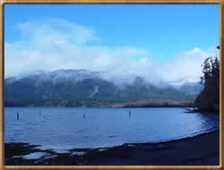 Other waters are managed in shorter seasons, often to protect nesting waterfowl or for other biological reasons.
To meet fishing demand, WDFW hatcheries annually stock about 19 million trout and kokanee fry that will grow up in time for the spring opener. Another three million catchable-size trout are planted in lakes and streams in late winter through spring. For a list of lakes and streams that are planted, along with their scheduled allotments of fish, contact the WDFW and ask for a copy of the Hatchery Trout Stocking Plan. This information is also posted on the WDFW’s web site. In addition, a number of lakes throughout the state will receive “bonus” plants of sterile triploid rainbow trout that can grow to impressive size.
Rivers and streams generally open June 1 after trout have had a 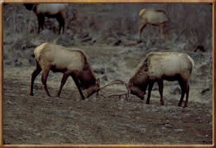 chance to spawn and most anadromous salmonid smolts (juvenile salmon, steelhead, sea-run cutthroat and char) have migrated to salt water. Most rivers and streams are managed to produce wild trout, salmon and steelhead. Consequently, few are stocked with hatchery-reared trout.
Open seasons for marine fish, anadromous fish and shellfish vary according to species, and sometimes are set or adjusted during the year. Some rules and seasons may seem complex or restrictive, but are necessary to protect fragile populations of animals (and in the case of shellfish, to protect people).
Writeup and pictures courtesy of Washington State Tourism and Washington Department of Fish and Wildlife
Wilderness Adventures Press Fly Fishing Maps and Books |
||
|
||